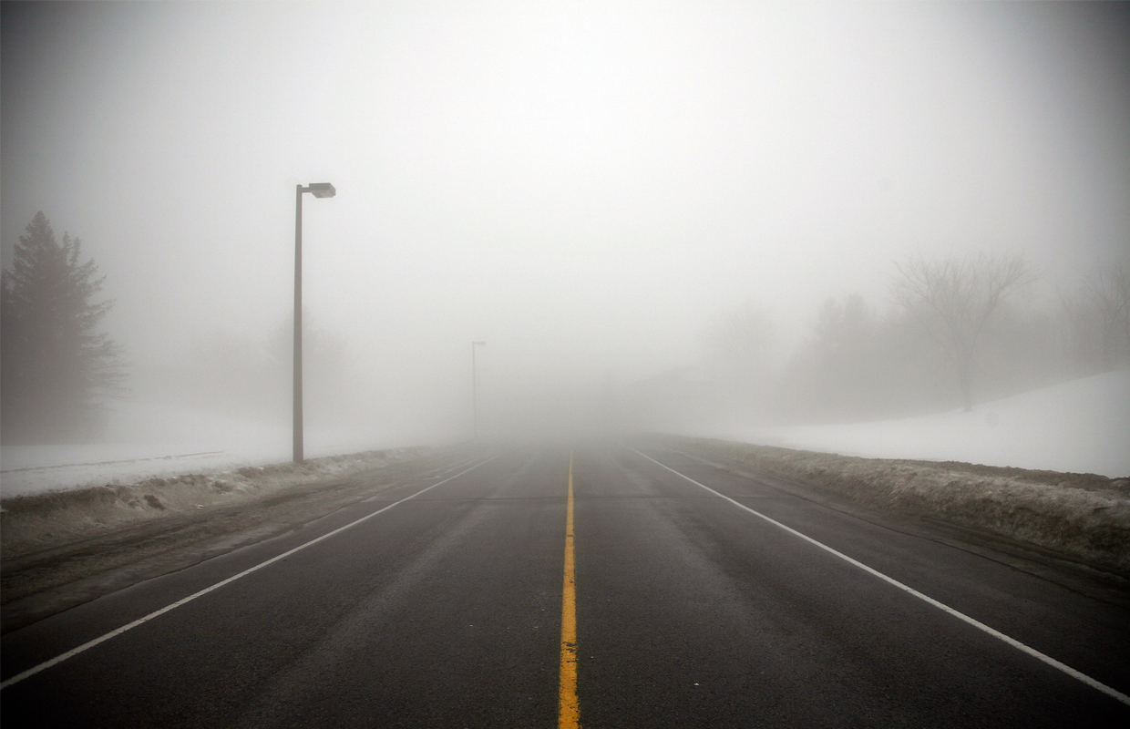
Spencer, Iowa (northwestiowanow.com) — A strong storm system will hit the area tonight and last into tomorrow morning. The main issue will be the wind. A cold front will move through this afternoon and evening, bringing much colder air behind it. This will cause northwest winds to pick up fast, with gusts of 50–60 mph and possibly higher. The strongest winds will be tonight and slowly weaken by early morning. Blowing and drifting snow is likely, which will lower visibility.
Forecast models show another push of cold air tonight, which could cause a few snow showers in southwest Minnesota and nearby parts of southeast South Dakota and northwest Iowa. These showers might bring stronger winds down to the ground and cut visibility to a quarter mile or less while snow is falling.
Warnings: The Winter Storm Watch is now a High Wind Warning for the whole area. A Winter Weather Advisory is also in effect for southwest Minnesota and parts of southeast South Dakota and northwest Iowa. Blizzard conditions are not expected right now because rain and warm temps have changed the snowpack, but conditions will be watched closely tonight.
National Weather Service forecaster Rod Donovan:


