For northwest Iowa, this afternoon and evening will remain warm and quiet as drier air has moved in behind last night’s storms. Temperatures will stay above normal, although wildfire smoke will continue to create a hazy sky and may lead to some minor air quality concerns.
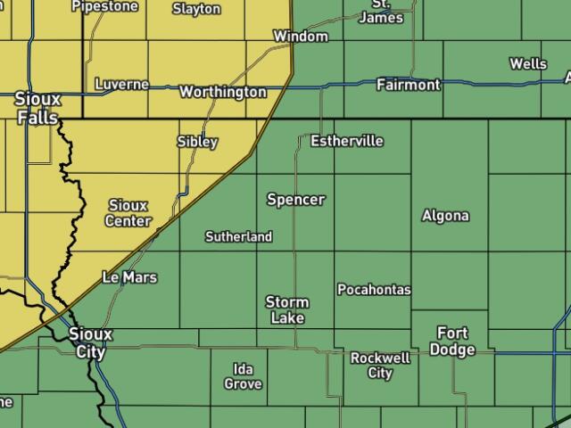
Tonight, attention turns to thunderstorms developing in Nebraska and spreading east and northeast after midnight. As warmer, more humid air returns to the region; scattered thunderstorms are expected to move into northwest Iowa late tonight and toward daybreak Wednesday. Some of these storms could become strong to severe, producing large hail and damaging wind gusts. While widespread severe weather is not guaranteed, a few locations could see wind gusts approaching 70 mph along with hail.
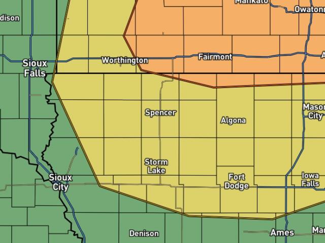
On Wednesday, any early morning storms may linger into part of the morning before weakening. During the afternoon, northwest Iowa may see a break in activity, but the atmosphere will remain unstable. Additional thunderstorms could redevelop Wednesday evening and overnight, especially across areas east of Interstate 29. If storms develop, they may become severe with large hail and strong winds being the primary threat.
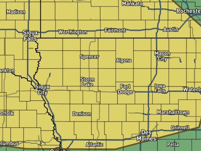
Looking ahead to Thursday and Friday, northwest Iowa will remain in a warm, humid, and storm-friendly pattern. Multiple rounds of thunderstorms are possible, including the potential for organized clusters of severe storms capable of producing damaging winds. Exactly where the strongest storms develop will depend on boundaries left behind by earlier rounds of convection.
For the Fourth of July period, confidence in the day-to-day details remains low, but the overall pattern supports continued chances for thunderstorms across northwest Iowa. Anyone with outdoor holiday plans should closely monitor forecasts such as severe weather, and locally heavy rainfall may become concerns. By Sunday and Monday, conditions should become somewhat more stable, with highs generally ranging from the mid-80s to lower 90s.