
CURRENT & TONIGHT:
A warm and breezy day continues. Across the area this afternoon, we’re still seeing a few sprinkles and very light showers in parts of eastern South Dakota and southwestern Minnesota, but rainfall amounts are staying light. This light rain may continue for another hour or two, but it should move out by late afternoon.
After that, things quiet down as the clouds start to clear out this evening. Winds higher up in the atmosphere will shift overnight and help set up our next rain chances heading into Saturday and Sunday. It will also be a warmer night, with lows only dropping into the upper 50s to mid-60s.
SATURDAY & SUNDAY:
Looking ahead to the weekend, Saturday will start off quiet, but clouds will slowly increase during the day. Warmer air moving in will help push temperatures into the upper 70s to mid-80s, along with breezy southeast winds.
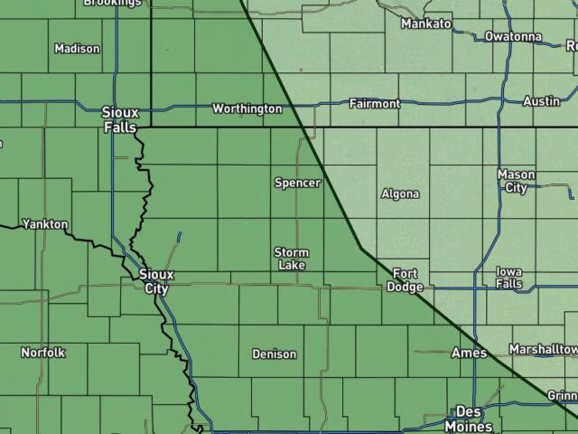
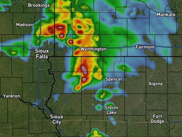
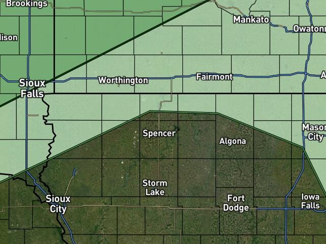
By Saturday evening into Sunday morning, we’ll be watching for storms to develop as a system moves in from Nebraska. There’s a chance thunderstorms could form by Sunday morning.
If storms do develop, some could become stronger. The main threats would be hail up to around golf ball size and wind gusts up to 65 mph. It’s still a bit unclear exactly where storms will form, so that will need to be watched. Right now, most of the area is under a low (Level 1 of 5) risk for severe weather, so be ready to get weather alerts if needed.
Once the morning storms move out, quieter weather returns later Sunday. However, it will turn hot, with highs possibly reaching the low to upper 90s and heat index values in the 90s to low 100s. We may get close to heat advisory levels, but it’s a bit early to make that call. Warm overnight temps in the 60s and 70s could also bring near-record warm lows Sunday night into Monday.
NEXT WEEK:
The main story next week will be the heat. High pressure will build in, and temperatures will stay in the low to upper 90s from Monday through at least Thursday. Heat index values will often be in the 90s to low 100s, which could lead to heat advisories at times.
Make sure to drink plenty of water and limit time outside during the hottest parts of the day.
We’ll also have to watch for a few chances of storms later in the week. Right now, the chances are low (around 30% or less), but with the heat in place, any storm that does form could become strong. So, keep checking for updates as we get closer.